@A'urba
 May 12, 2021
Cartographic indicators for a good management of Bordeaux, port of the Moon
The development of Bordeaux, port of the Moon is mainly framed by two town planning documents: the PLUi (local urbanism plan) and the PSMV (plan for the safeguarding and enhancement of the Old City). These two documents are monitored by a set of statistical indicators. Others datas are however necessary to ensure a good assessment of the site's developments, in particular cartographic and photographic updates to which the planning and project sectors are particularly sensitive.
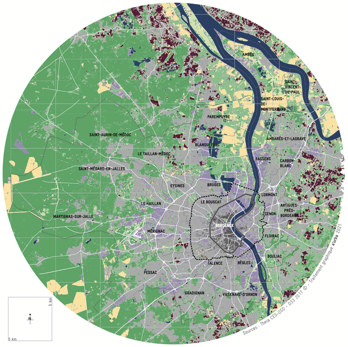
Following the atlas of the 5 partners of the AtlaS.WH project, the urban planning agency of Bordeaux and Aquitaine is producing a series of maps which not only makes it possible to present the different actions and strategies that apply to the core zone but also their evolutions. These maps illustrate strategies and actions that concern the management of Bordeaux, port of the Moon exceed its registration limits and highlight management fits into a much broader context. They also demonstrate the transversality of heritage through the diversity of thematics participating in the management of the property (culture, mobility, housing, nature, etc.).
Following the atlas of the 5 partners of the AtlaS.WH project, the urban planning agency of Bordeaux and Aquitaine is producing a series of maps which not only makes it possible to present the different actions and strategies that apply to the core zone but also their evolutions. These maps illustrate strategies and actions that concern the management of Bordeaux, port of the Moon exceed its registration limits and highlight management fits into a much broader context. They also demonstrate the transversality of heritage through the diversity of thematics participating in the management of the property (culture, mobility, housing, nature, etc.).

